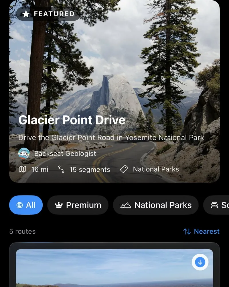
Discover curated routes
Ready-made drives from experienced geologists.
As you travel, Backseat Geologist tells you what rock you're crossing, how it got there, and how old it is. Hands free, offline when you need it, pretty much anywhere.


4.7 on the App Store. Over 18,000 downloads.
The Franciscan Complex underpins this portion of the Coast Ranges, representing a massive accretionary wedge scraped off a subducting oceanic plate between 67.5 and 153.4 million years ago during the Mesozoic Era. This regional unit consists of highly deformed graywacke sandstone, mudstone, and chert, mixed into a chaotic melange. These sediments were deposited in a deep-ocean trench before being subjected to intense tectonic forces. Marine life in these ancient waters included large predatory reptiles, such as the dolphin-like ichthyosaur.
The structural history here is defined by immense compression. A major thrust fault runs directly along this stretch of the route, with another thrust fault located about 0.4 kilometres to the east. These fractures show where slabs of the Earth's crust broke and shoved over one another, stacking and shuffling the deep-sea strata.
Upper Cretaceous marine rocks form a thick, extensive sequence of sandstone, siltstone, mudstone, and conglomerate. Unlike the highly deformed trench deposits of the underlying Franciscan Complex, these sediments represent a relatively structured deep-marine turbidite facies, forming the upper portion of the Great Valley Sequence. These massive submarine landslide deposits accumulated in a forearc basin between 62.7 and 103.6 million years ago.
The ancient marine environment supported a diverse ecosystem. Cephalopods like the coiled, predatory Gaudryceras and the straight-shelled ammonite Baculites hunted in the water column, while various clams and snails populated the seafloor.
The route crosses the San Gregorio fault zone within this unit. This major right-lateral strike-slip fault accommodation zone plays a critical role in the modern plate boundary, absorbing significant horizontal displacement as the Pacific and North American plates grind past one another along the California coast.
Crossing the active San Gregorio fault zone brings a dramatic shift in both geological age and structure, marking the boundary between the Cretaceous marine rocks and a much younger sequence of Miocene marine strata deposited between 10.2 and 13.1 million years ago. This right-lateral strike-slip fault system accommodates significant horizontal displacement along the plate boundary.
Unlike the older Cretaceous turbidites, these Miocene deposits consist of sandstone, mudstone, siltstone, conglomerate, and breccia. This sequence correlates with the regional Carmel Valley stratigraphic column, spanning from the silica-rich shales of the Aquajito Shale up through the volcanic ash-bearing Santa Margarita Formation. These sediments accumulated in a dynamic Neogene marine basin, which was home to early marine mammals like the primitive tusked herbivore Desmostylus and the early walrus Imagotaria, alongside crabs like Pinnixa.
Within this younger unit, the route crosses the San Gregorio fault zone once more, highlighting the intense, ongoing crustal slicing that characterizes the modern Big Sur margin.
Highway 1 through Big Sur, Andrew Molera State Park to Pfeiffer Big Sur State Park. Real geology descriptions and audio from the app.
Ready-made drives from experienced geologists.

Any drive or hike, up to 100 segments.
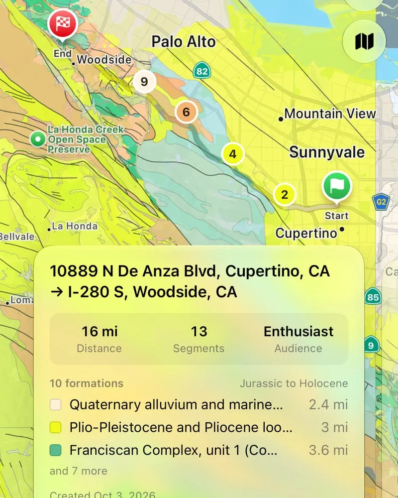
Routes with descriptions and audio are saved to your device before you leave.
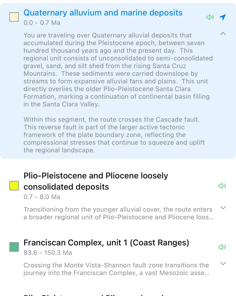
Kids, General, or Enthusiast. Pick how much detail you want.
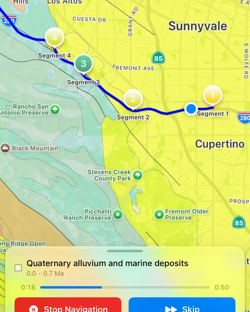
Siri, a home-screen widget, and audio that plays in the background.
Six languages English, Spanish, French, German, Italian and Portuguese.
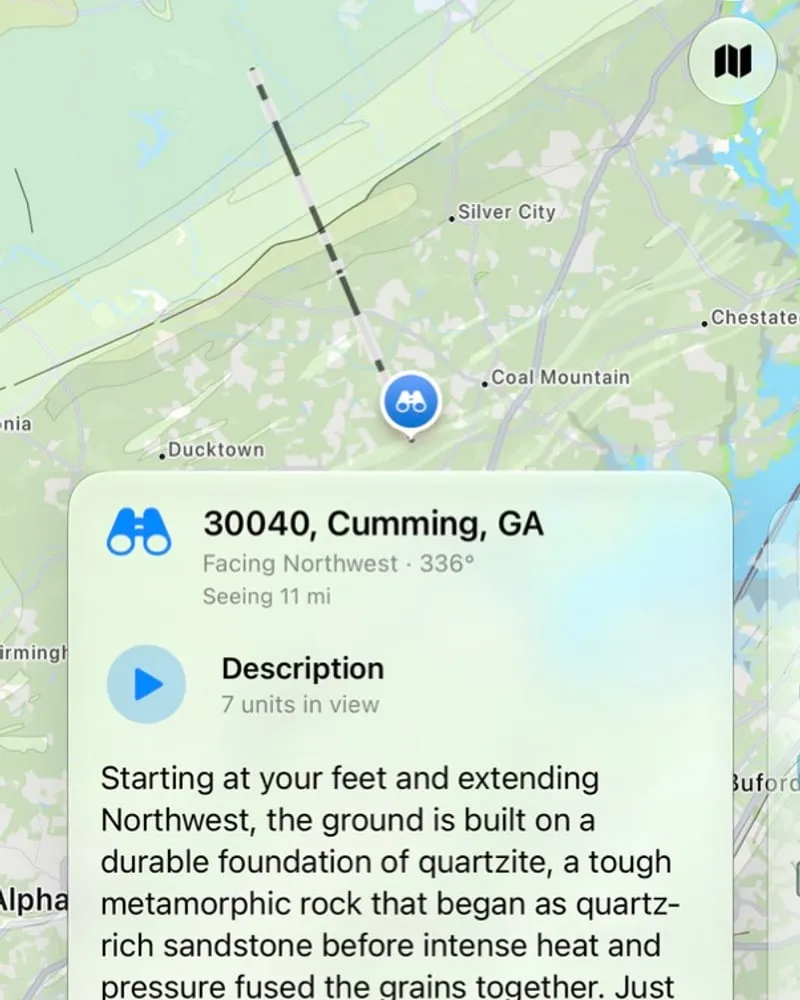
No route needed. Find somewhere high, point your phone at the view, and it explains the geology you are looking at.
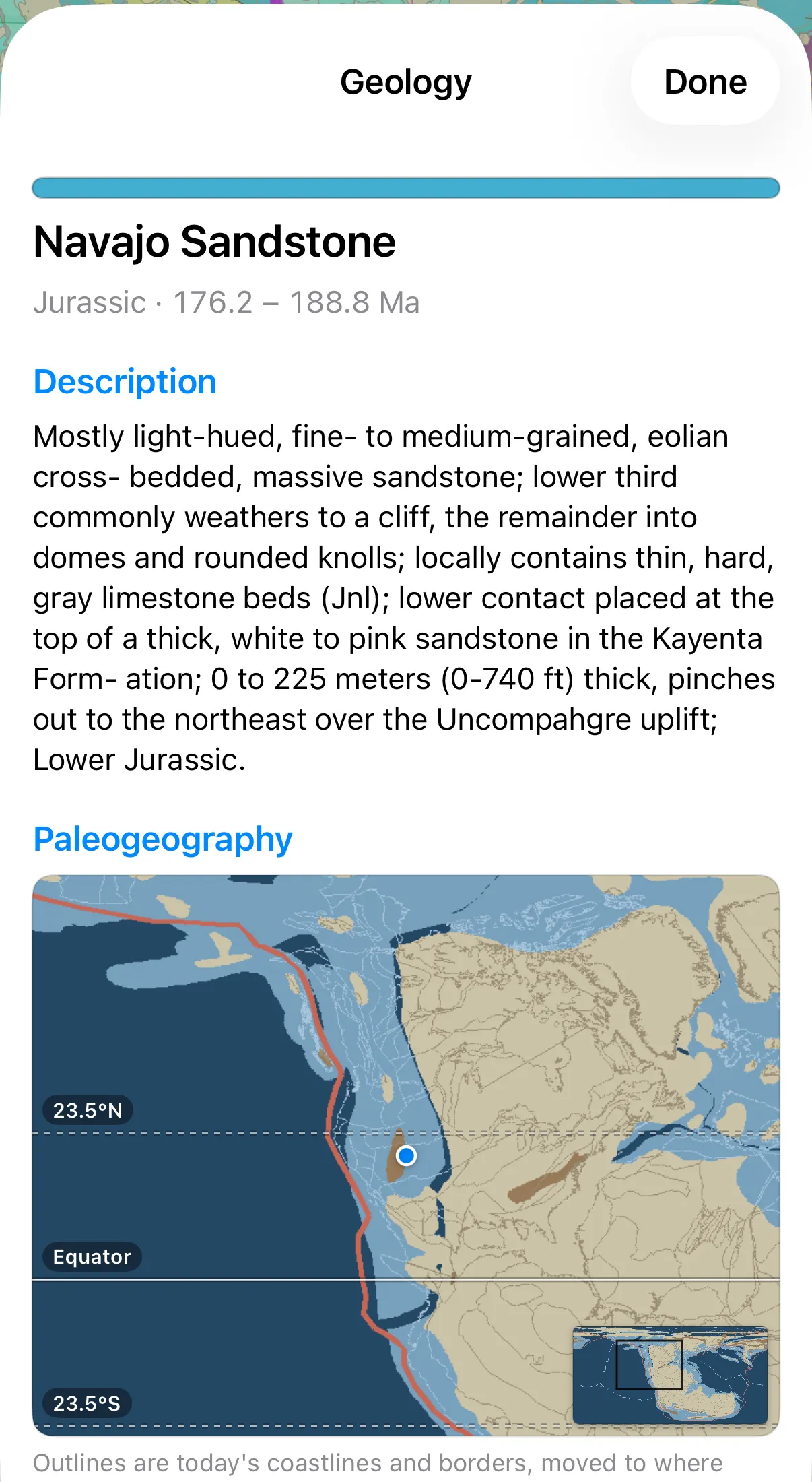
Anywhere you tap on the geologic map there is a wealth of information.
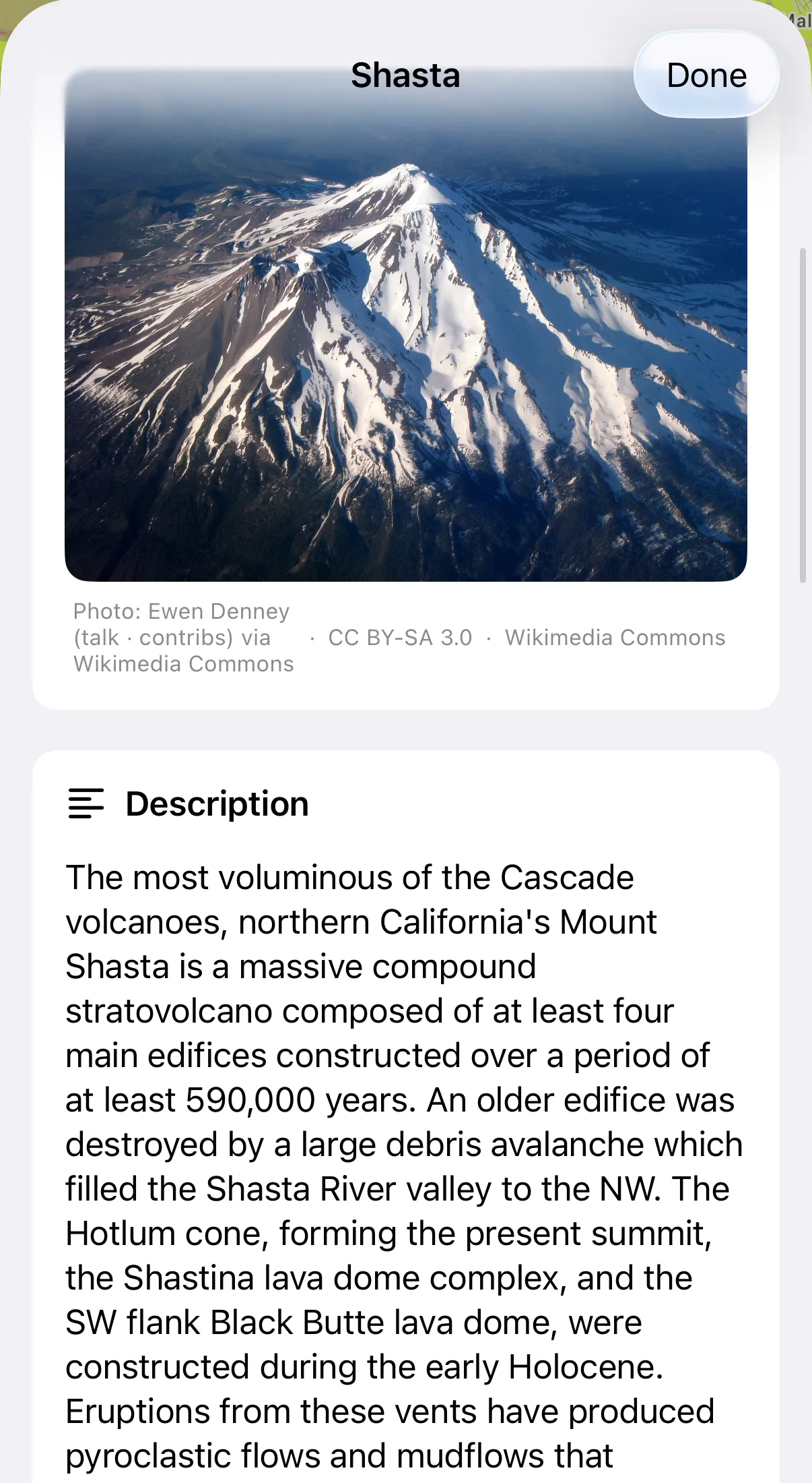
Recently active volcanoes and historical large earthquakes get a detail page of their own.
Built on data from Macrostrat, the USGS, the Smithsonian Global Volcanism Program, the GEM Foundation, the Paleobiology Database, and more.
Topo Traveler took Backseat Geologist to the top of Borah Peak in Idaho.
“I love this app as I drive over various landscapes. The descriptions are very clear and visible features are mentioned as I drive by.”
Sciencenut2001, App Store
“I'm a PhD geologist and social media creator and I learn so much every time I open this app. It has made planning my trips so much easier.”
dantreetrunkman, App Store
“I was traveling with my family on vacation so, curious about the geology, I asked my wife to read geological descriptions aloud while I drove. It didn't go well. When I got home, I created Backseat Geologist!”
Now you can discover the millions and billions of years of earth history rolling by your window, whether you're on a daily commute or exploring new places.
Blake Morgan, geologist and founderAn audio segment is one spoken description of the rock you're crossing. Paid plans add a higher quality voice and longer routes.
$0
$1.99 /month $17.99/year (save 25%)
$4.99 /month $39.99/year (save 33%)
Pricing shown in USD. You'll be charged in your local currency through the App Store and Google Play.
4.7 on the App Store. Over 18,000 downloads.